Reuters reported that, in an email to customers, Planet Labs said the U.S. government had asked all satellite imagery providers to place an indefinite hold on publishing images from the conflict zone. The company said the move further expanded a 14-day delay policy it had already adopted last month. Under the latest arrangement, imagery dating back to March 9 will be withheld, and the policy is expected to remain in place until the conflict ends.
Planet Labs said it will adopt a system of managed distribution for some imagery, releasing material only on a case-by-case basis for urgent needs, critical missions or matters deemed to be in the public interest. The company said it was seeking to balance competing demands under what it described as an unusual situation.
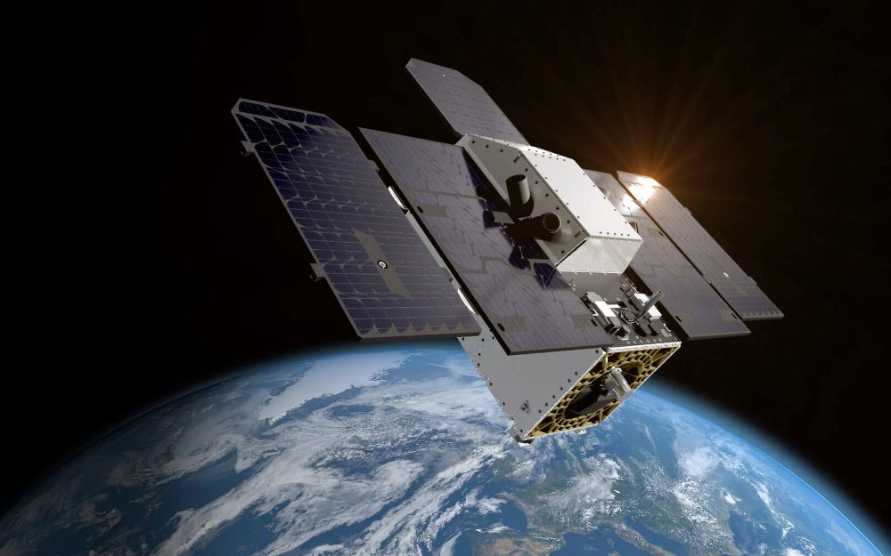
Reports said satellite imagery has become increasingly important in modern conflicts, where it can be used for purposes such as target identification, weapons guidance and missile tracking. As commercial remote-sensing capabilities continue to improve, such imagery is playing a growing role in conflict-related analysis while also raising concerns that it could be exploited by parties involved in hostilities.
Reuters reported that another commercial satellite imagery supplier, Vantor, said it has not been directly contacted by the U.S. government, but has long reserved the right to tighten access controls during geopolitical conflicts and has already imposed restrictions on some parts of the Middle East.
The Wall Street Journal also reported on Saturday that the U.S. government is seeking to limit outside access to satellite images of the Iran conflict zone.
Leave a Reply